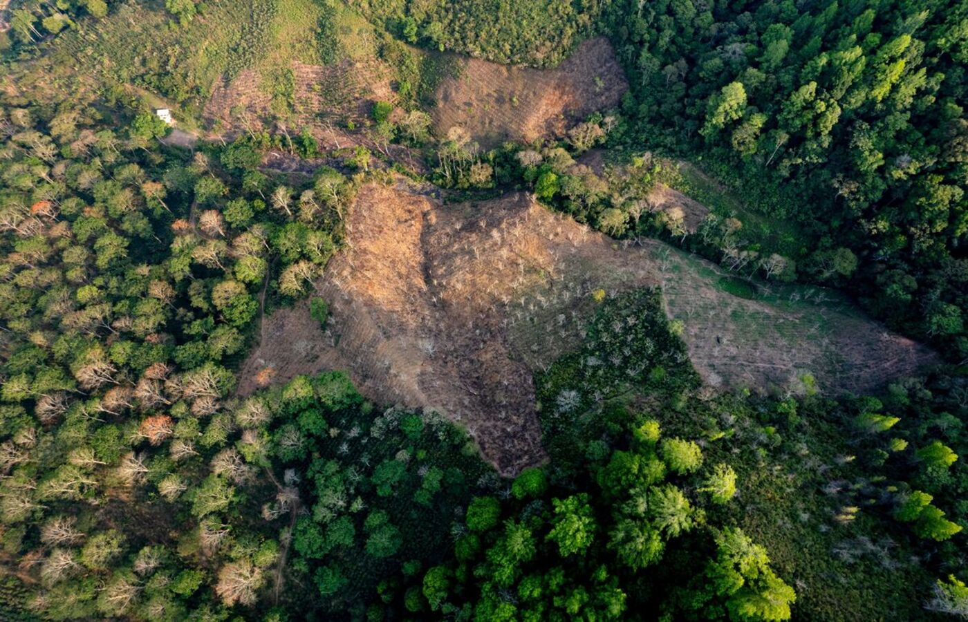
Global coffee traders and roasters have launched a satellite-based monitoring system designed to track deforestation linked to coffee production, placing Ethiopia among the first countries to be mapped under the initiative.
The Coffee Canopy Partnership, announced on Wednesday, will use satellite imagery from combined with artificial intelligence models to identify coffee-growing areas and detect nearby forest loss. The system is intended to improve land-use mapping and support efforts to prevent deforestation across major producing regions.
The initial rollout covers East Africa, with Ethiopia, Tanzania, Kenya, Uganda, Burundi and Rwanda selected as priority countries before the platform expands globally to all coffee-growing regions by 2027.
Participating companies include , which is now part of , alongside Germany’s and commodities traders.
The move comes ahead of the European Union’s deforestation regulation, which is set to restrict imports of agricultural goods grown on land classified as forest after December 2020. The rules are scheduled to take effect for large companies from December 30 and for smaller firms from June 30, 2027.
Industry players say the regulation could reshape supply chains, particularly for smallholder farmers in Africa who rely heavily on coffee exports.
JDE Peet’s said existing mapping systems have often misclassified agroforestry and shade-grown coffee plots as natural forest, raising the risk of excluding compliant producers from key markets.
“This threatens to exclude millions of smallholder farmers from key markets, despite their sustainable farming practices, simply because existing maps incorrectly classify their agroforestry or shade-grown coffee production land as forest,” the company said.
The Coffee Canopy Partnership said the platform will be opened to governments, farmers and industry stakeholders to improve data accuracy and support restoration efforts where forest loss is identified.