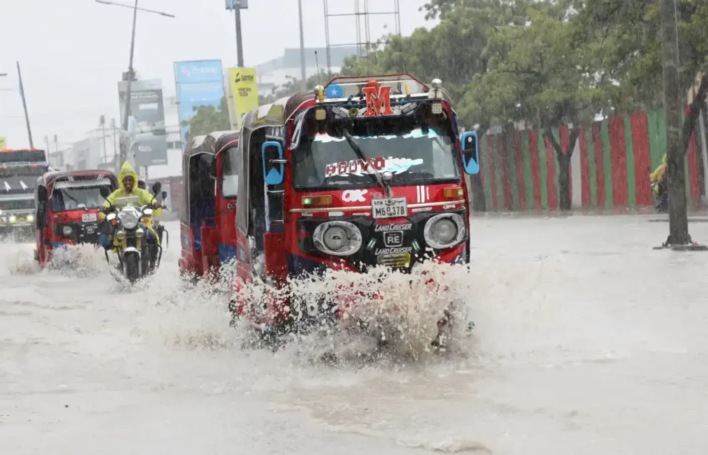
The ongoing El Niño could become the strongest since the global record-keeping began 40 years ago, the United Nations has warned, as Kenya and its East African neighbours brace for heavy rainfall that could displace as many as 500,000 people across the region.
The World Meteorological Organization (WMO) said the weather phenomenon is likely to intensify into a very strong event in the coming months and is almost certain to persist through February 2027.
"If this trajectory continues, it may be stronger than anything since our monitoring began," WMO Secretary-General Celeste Saulo said in Geneva.
The agency said El Niño would peak toward the end of this year, though its climate effects could continue well into 2027.
El Niño is a natural climate pattern marked by warming sea surface temperatures in the central and eastern equatorial Pacific Ocean. It occurs every two to seven years on average and typically lasts nine to 12 months, altering global weather by bringing increased rainfall to some regions and drought to others.
The current event began developing in mid-2026, following three consecutive years of La Niña, the opposite cooling phase, and scientists say the transition has released heat previously suppressed by that rare "triple-dip" La Niña.
The most powerful El Niño on record occurred in 2015–2016, contributing to what was then the warmest year globally. That event caused widespread coral bleaching, crop failures and flooding across East Africa.
The 1997–1998 El Niño was also exceptionally strong, resulting in an estimated 35–45 billion US dollars in global economic losses, according to the WMO. In Kenya, floods from that event killed more than 1,000 people and displaced hundreds of thousands. The WMO said the 2026–2027 event could surpass both.
In East Africa, El Niño typically brings above-average rainfall during the October-to-December short rains season, while often producing drier conditions in Australia, Southeast Asia and parts of South America.
Kenya's meteorological department has forecast above-normal rainfall between October and December. The National Disaster Operation Centre said it was preparing for a worst-case scenario, estimating that 1.5 million people could be directly affected and 500,000 could be displaced. Authorities are mapping high-risk areas and identifying vulnerable infrastructure to strengthen emergency response and public awareness, the disaster agency said. The government is prioritising water supplies, electricity networks and communication systems.
Neighbouring countries are also on alert. Uganda's disaster preparedness ministry has activated emergency protocols for flood-prone districts along Lake Victoria, while Tanzania's meteorological agency has warned of above-average rains in its northern and coastal regions, according to local reports.
Kenya has enhanced its disaster response systems since the 1997–1998 floods, including early warning mechanisms and improved coordination between national and county governments. But officials have acknowledged that rapid urbanisation and population growth have increased exposure in informal settlements and low-lying areas.
UN Secretary-General António Guterres said the world had entered a dangerous phase of extreme weather and urged governments to strengthen early warning systems and climate adaptation efforts. The WMO has called for greater international coordination in tracking El Niño and mitigating its effects on food security, water resources and public health.
visit BirrMetrics and follow official updates from the United Nations Office for the Coordination of Humanitarian Affairs (OCHA).